
In a transformative leap for agricultural governance, the Smart Application for Revenue Administration (SAARA), developed by the Madhya Pradesh State Electronics Development Corporation, Government of Madhya Pradesh, is revolutionizing how crop data is collected, verified, and applied. Traditionally, Patwaris were the sole custodians of information on cultivated crops, a system often hindered by delays, inaccuracies, and human bias. Now, SAARA combines satellite imagery, georeferenced Patwari Khasra maps, and advanced AI/ML algorithms to deliver precise, real-time insights into crop types, locations, and yields at the field level. While Patwaris and field surveyors continue on-site verification, they are now equipped with a mobile app that instantly identifies crops using AI-powered image recognition.
This integration not only enhances accuracy and efficiency but also enables granular yield estimation, supports timely crop insurance disbursement, and ensures fair compensation for farmers. Simultaneously, it protects government revenue by preventing overestimation of losses. Designed with scalability in mind, SAARA represents a pioneering hybrid model adaptable across states in India, setting a new standard for technology-driven agricultural administration.
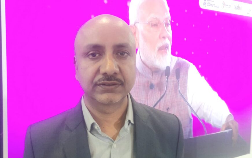
In an exclusive discussion with The Interview World at the India AI Impact Expo 2026, Dr. Rakesh Dubey, Head of MPSSDI at the Madhya Pradesh State Electronics Development Corporation, detailed the SAARA app’s operations. He explained how information is analysed and delivered to users, highlighted the tangible benefits for farmers and the state government, and underscored how the system can be customized for other states. Here are the key takeaways from his insightful conversation.
Q: Can you provide a detailed overview of the Smart Application for Revenue Administration (SAARA)?
A: Earlier, we relied entirely on the Patwari, who was the sole source of information on which crops farmers were growing, such as wheat or other varieties. Today, we leverage satellite imagery combined with georeferenced Patwari Khasra maps. By overlaying these maps on satellite images, we can accurately identify the crop in each Khasra.
Our AI/ML-based model analyses the satellite data and provides detailed crop information to the revenue department, specifying which crop is present in which area and the corresponding parcel number. Simultaneously, Patwaris and field surveyors continue on-site verification. To support them, we provide a mobile application called SAARA. Using this app, they can capture a photo of any crop, and an AI-powered algorithm instantly identifies it, whether it is wheat, mustard, or another crop.
This system delivers geo-tagged, field-level information in real time. Unlike before, Patwaris no longer need to physically visit remote locations to gather crop data. Instead, they can rely on a combination of satellite analysis and AI-enabled field verification, ensuring accurate, timely, and comprehensive information collection.
Q: Once the information is collected, how is it analysed, and what specific insights or data are shared with the intended users?
A: We first provide this data to the revenue department for administrative and planning purposes. Next, we share it with the agriculture department to support crop insurance assessments. By analysing potential crop damage, the department can accurately identify farmers eligible for insurance. Eligibility is determined by comparing actual yield against established baseline levels. To calculate yield, we integrate multiple data sources, including soil characteristics, weather patterns, and satellite-derived Normalized Difference Vegetation Index (NDVI) metrics. Using this approach, we estimate yields at the panchayat level, offering granular insights into local agricultural performance. This detailed analysis enables the agriculture department to efficiently assess losses and distribute crop insurance to affected farmers, ensuring timely support and minimizing financial risk for the farming community.
Q: What specific benefits will this app provide to farmers?
A: The app delivers significant benefits to farmers. Previously, Patwaris could unintentionally introduce bias when reporting crop data, affecting insurance claims. Now, the system objectively determines the crop type, cultivated area, and estimated yield for each farmer. By relying on technology rather than subjective reporting, the app eliminates discrepancies and ensures fairness. It accurately analyzes actual crop losses using integrated data and AI-driven algorithms. Consequently, insurance is distributed based on real losses, not individual discretion, providing farmers with timely, transparent, and reliable compensation. This approach enhances trust, reduces human error, and strengthens the integrity of crop insurance programs.
Q: How will this app enhance government revenue, and what specific financial advantages can be expected?
A: From a technology perspective, solutions operate impartially and eliminate human error. For instance, extreme events like hailstorms directly impact crop yield. Recently, a hailstorm struck the Rajgarh area, and using satellite imagery and drone data, we identified twelve villages that suffered damage. Our approach combines traditional reporting with advanced technology in a hybrid model. While Patwaris initially submitted estimated losses of approximately ₹15 crore for distribution, technology-driven analysis revealed actual losses closer to ₹5–6 crore. This ensures that only genuinely affected farmers receive compensation, while the government avoids unnecessary expenditure. By providing accurate, data-backed assessments, the system strengthens accountability, safeguards revenue, and ensures timely, equitable support to farmers in need.
Q: Is this solution currently implemented only in Madhya Pradesh, or can it be adopted by other states as well?
A: Currently, this solution is implemented exclusively for the Madhya Pradesh government. However, we can customize and deploy it for any other state based on their specific requirements. By adapting the technology to local needs, we ensure seamless implementation while delivering accurate, efficient, and scalable results across regions.


1 Comment
Great article! I’ll definitely come back for more posts like this.
Comments are closed.